18th October 2024
Tsabong
Sello Motseta
The Nossop-Ncojane Interpretation of Aeromagnetic Data Project has been lauded as an important vehicle that can be used to achieve economic diversification and sustainable development through the timely use of innovation and technological advancement.
The project’s long-term economic, scientific, and social returns are expected to outweigh its initial costs with new mineral discoveries expected to generate significant revenues, far exceeding the project’s investment with the scientific data, driving future exploration and research.
The Ministry stressed that it continues to advance mineral discoveries through research in order to grow and expand the country’s economic status through exploration, mining, manufacturing and processing of various mineral commodities.
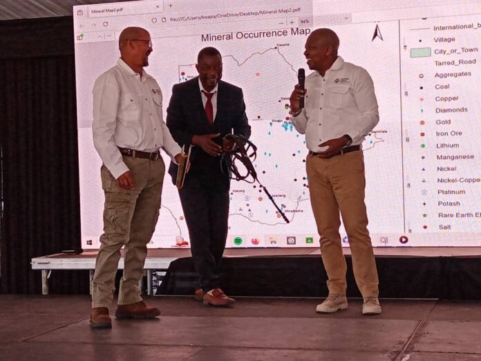
“This project, a cornerstone of the Transitional National Development Projects, epitomizes our concerted efforts to foster an environment ripe for export-led growth and attract Foreign Direct Investment. The current project marks a significant achievement, and completes an initiative that started in the early 90’s to cover the whole country with high resolution airborne magnetic surveys, an enabler for private sector mineral exploration and development in Botswana,” said Lefoko Moagi, Minister of Minerals and Energy at a tour of the project in Tsabong.
He said, “Our primary objective is clear and compelling: to rekindle mineral prospectivity in the Nossop-Ncojane region.”
According to officials this project, which is aligned to Botswana’s strategic priority of diversifying its mineral base beyond diamonds, is expected to harness and reveal mineral potential obscured by the thick Kalahari sands.
Officials revealed that there is still over 70% of potential mineral resources in the Country that remain unexplored.
This project targets to unravel the richly endowed economic minerals underground and enable creation of an inherent value that exists in the strategic mineral commodities.
The baseline data from the project will not only serve as a critical resource for exploration and mining companies but will also empower other key stakeholders with relevant geoscientific data needed for knowledge-based decision making.
The project data will be disseminated online just like the current available Mining Cadastre which allows any Motswana to apply and submit their application for exploration or mining licenses, and or mineral permits within the country.
These platforms facilitate effective information management and dissemination to potential investors both in Botswana and globally, as well as transformation to a knowledge-based economy.
These have also enabled the outbringing of digitalized products and services to farmers, researchers, scholars, consultants, and exploration and mining companies creating a one-stop-shop platform.
The country has grown in extensive knowledge and building of skills which is a strategic approach which can be used to advance mineral resource development within the country. This is reflected in fact that the Botswana Geoscience Institute laboratory was awarded the ISO IEC 17025 accreditation certificate by the Southern Africa Development Community Accreditation Service.
This accreditation is a significant achievement, underscoring BGI’s commitment to excellence and quality in geoscience research and testing.
Botswana is one of the rich countries in mineral resource endowments and has recently attained a score of 73% on Best Practices Mineral Potential Index (BPMPI) and by Frazer Institute ranking 10th out of 62 countries with a score of 82% on Investment Attractive Index.
The country (except for the eastern part) is characterized by thick Kalahari sand especially in northern and south-western part which obscures the geology that minerals are found in. The current mine developments in the Kalahari copper belt that are in operation have benefited from the baseline high resolution geophysical data that was acquired by the government of Botswana.
In March 2023, BGI completed a project in northern Botswana which entailed a systematic interpretation of existing high resolution of airborne magnetic data acquired by both government private sector over the years to map underlying geology and mineral occurrences to further entice private sector investment in mining in the northern region.
This work revealed:
- 35 priority areas (i.e. new mineral prospects/targets) with a total surface area of 40,622 km2 (including overlaps) divided across eleven mineral classes
- 12 high potential (Priority 1) areas, focused on known mines and deposits, and extensions that are highly prospective, having a total surface area of 10,817 km2 across seven mineral classes
These targets can be further explored and ultimately developed into mines by the private sector. In addition to the above, hydrogeological assessment was also done to aid groundwater exploration for the country at large. Some boreholes in the region have been identified to have extremely salty water which, while unsuitable for consumption, holds potential for other uses.
As such, a full analysis of this saline water will be conducted during the project’s second phase to identify areas with enough salinity to be harnessed for salt production.
The project also advanced geological mapping coverage from 30% to about 80%. Together with other initiatives by BGI, we have seen Botswana’s global attractiveness regarding mining shoot from 30% to 73% according to Fraizer ranking.
At the completion of this survey, Botswana will be close to hundred percent (100%) high resolution aeromagnetic data coverage except for some few small, restricted areas, which places Botswana among a very select few countries that have done so.


